


 211 / 298

Maps & Charts
551
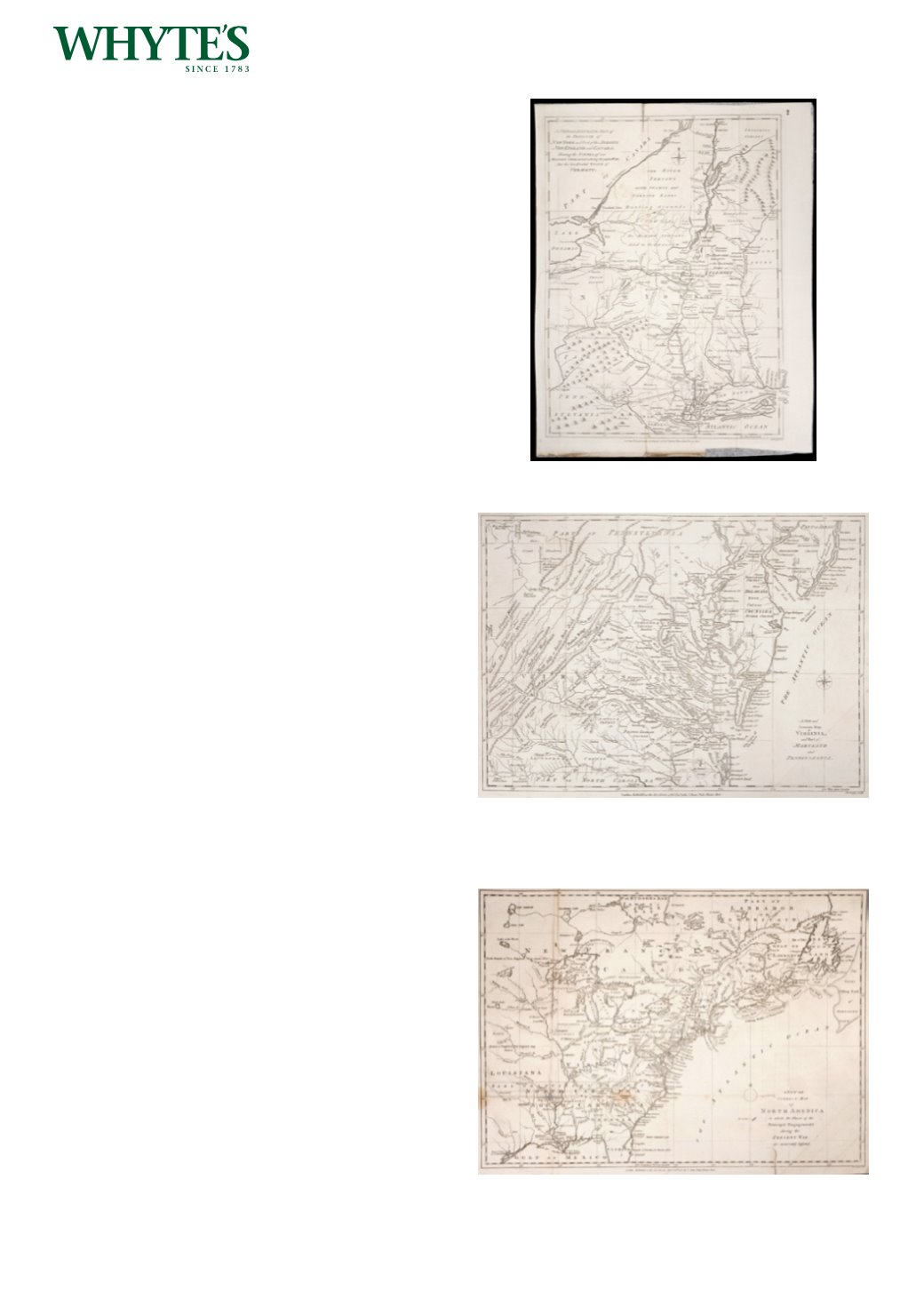
1780 Map of NewYork and Part of the Jerseys,
New England and Canada,
An engraved map, published by J. Bew, Paternoster
Row; A New and Accurate map of the Province of
New York and Part of the Jerseys, New England
and Canada, showing the scenes of our military
operations during the present war, uncoloured,
unframed.
15.25 by 11in. (38.7 by 27.9cm)
Estimate €300-€500 (approx £255-£425)
Click Here for Large Images & To Bid 551552
1780 Map of Virginia and Part of Maryland and
Pennsylvania.
An engraved map, published by J. Bew, Paternoster
Row; A New and Accurate map of Virginia and
Part of Maryland and Pennsylvania, uncoloured,
unframed.
11.25 by 15.50in. (28.6 by 39.4cm)
Estimate €300-€500 (approx £255-£425)
Click Here for Large Images & To Bid 552553
1790 Map of North America.
An engraved map, published by J. Bew, Paternoster
Row; A New and Correct Map of North America
in which the Principle Engagements during the
Present War are accurately inserted, uncoloured,
unframed.
11.25 by 15.50in. (28.6 by 39.4cm)
Estimate €300-€500 (approx £255-£425)
Click Here for Large Images & To Bid 553