
47
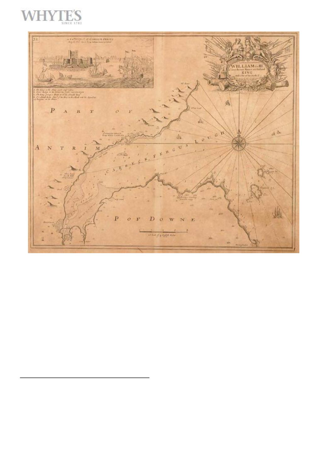
18th century sea charts, Captain Greville Collins,
seven charts from his Coasting Pilot”, c1740.”
Charts of Carrickfergus (Belfast) Lough, Carlingford, Dublin Bay,
Holyhead, The Menai Strait, The Scilly Isles and Kinsale Harbour.
Uncoloured engravings. The Carlingford chart 18 (46cm) high, 13”
(33cm) wide; the rest, 18” (46cm) high, 23” (59cm) wide. Framed. (7)”
€700-€1,000
Large Image & Place Bid Lot 47


