
238
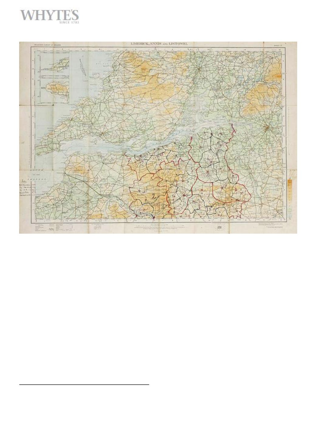
1919-21 West Limerick Brigade IRA, Brigade
Tactical Map.
A half-inch to one mile, 1913 Ordnance Survey Road Map of Limerick,
Ennis & Listowel marked in red and black ink with Battalion boundries,
Company boundries, Company HQ’s, ambush positions. Hand written
key inscribed to bottom left hand corner and headed Index”. Inscribed
“West Limerick” in pencil to front cover and “Brigade Coy Maps” in
pencil to back cover.”
€500-€700
Large Image & Place Bid Lot 238


