
17
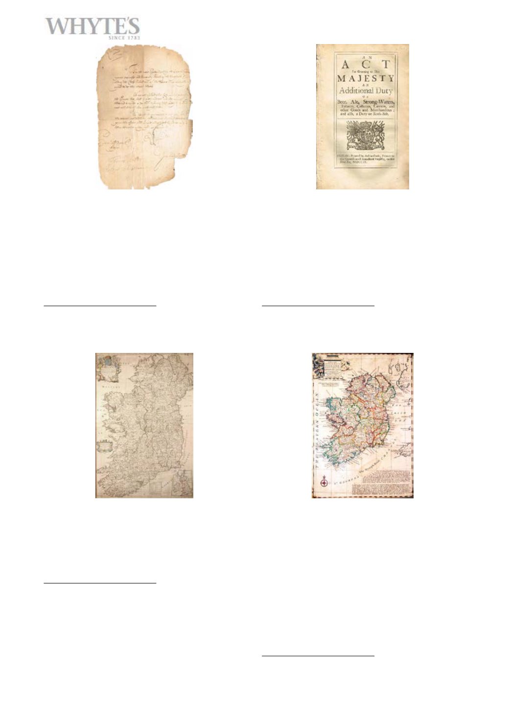
1699 (12 December) Portsmouth Garrison letter
relating to troop behaviour
Two page manuscript letter to Henry Sidney, Earl of
Romney about the threatening behaviour of John
Larkin, a gunner, against Daniel Monteith commander of
the guard
11 x 6_in. (27.94 x 16.51cm)
Estimate €100-€150 £70-£110
Large Image & Place Bid 1718
1709-1820 Acts of Parliament, and other docu-
ments
Includes 1709 An Additional Duty on Beer, Ale,
Strong-Waters etc., printed in Dublin, 1800 Act of Union,
1814 Commitments Trials, Convictions &c Ireland, also
some leases and indentures 1880s to 1930s, and Kitch-
in’s Map of Ireland. (15)
Estimate €100-€150 £70-£110
Large Image & Place Bid 1819
1712 John Senex, Map of Ireland
Corrected from the latest observations etc. With inset
map of the British Isles. Early colouring. Framed.
38 x 26in. (96.52 x 66.04cm)
Estimate €150-€200 £110-£150
Large Image & Place Bid 1920
18th century map, Emanuel Bowen, A New and
Accurate Map of Ireland
C.1747, contemporary hand colouring. The lower right
quadrant of the map includes notes regarding bays and
harbors along the coast of County Waterford, and about
the nymph Bank according to the Hydrographic survey
of Mr. William Doyle. Illustrated title cartouche depict-
ing scenes of hunting and cattle grazing. This map was
prepared by Emanuel Bowen as plate no. 9 for the 1747
issue of A Complete System of Geography. Framed.
16 x 12in. (40.64 x 30.48cm)
Estimate €150-€200 £110-£150
Large Image & Place Bid 20


