


 200 / 298

THE ECLECTIC COLLECTOR · 6 MAY 2017 AT 10AM
Maps & Charts
518
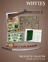
1654 Map of Connaught by Joan Blaeu.
A hand-coloured, engraved map of ‘Connachtia
Vulgo Connaughty’, in the first state as published in
the 1654 fifth volume of Novus Atlas, laid on card,
unframed. Sheet size
17.75 by 21.75in. (45.1 by 55.2cm)
Estimate €180-€220 (approx £153-£187)
Click Here for Large Images & To Bid 518519
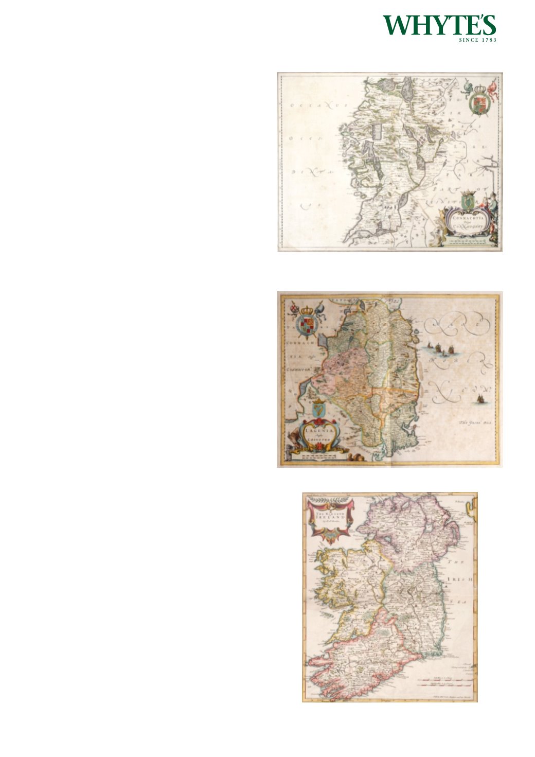
1654 Map of Leinster by Joan Blaeu.
A hand-coloured, engraved map Leinster, in the first
state as published in the 1654 fifth volume of Novus
Atlas, German edition, unframed. Sheet size
20.50 by 24in. (52.1 by 61cm)
Estimate €150-€200 (approx £127-£170)
Click Here for Large Images & To Bid 519519A
1695 The Kingdom of Ireland, by Robert Morden.
A hand-coloured, engraved map, from Camden’s
Britannia, 1695, with Newry spelt ‘Nury’ reverse
blank. Unframed. Sheet size
18.50 by 17.50in. (47 by 44.5cm)
Estimate €150-€200 (approx £127-£170)
Click Here for Large Images & To Bid 519A