
THE ECLECTIC COLLECTOR · 6 MAY 2017 AT 10AM
Maps & Charts
534
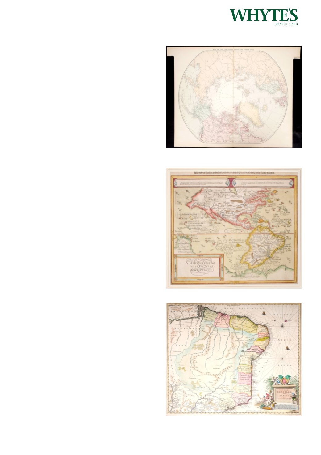
1896 Polar Map by Edward Stanford showing the
extent of various expeditions.
A coloured map, The Countries Round the North
Pole, by Edward Stanford, London 1896. Scarce
example of Edward Stanford’s map depicting
the entire Arctic Region, featuring the furthest-
most points reached by various expeditions of
exploration.
Estimate €100-€150 (approx £85-£127)
Click Here for Large Images & To Bid 534535
16th century map of North and South America.
A hand-coloured engraved map by Sebastian
Munster (1488-1552) Americae sive Novi Orbis, Novi
Descriptio. c. 1590, Basel. On verso, with woodcut:
‘America, die newe Welt, oder Inseln so hinder
Hispaniam gegen Orient bey dem Landt Indie
gelegen. xxvi.’
Estimate €1000-€1500 (approx £850-£1275)
Click Here for Large Images & To Bid 535536
17th Century map of Brazil by Joannes Blaeu
A hand-coloured, engraved map, Nova et Accurata
Brasiliae totius tabula Auctore Ioanne Blaeu.
Published circa 1685. Unframed.
20 by 23.75in. (50.8 by 60.3cm)
Estimate €350-€450 (approx £297-£382)
Click Here for Large Images & To Bid 536


