


 201 / 298

Maps & Charts
520
1740 A New Map of Ireland, by Herman Moll
A hand coloured engraved map of Ireland, divided
into its Provinces, Counties and Baronies. Inset plans
of the principal cities and harbours together with
St. Patrick’s Purgatory and the Giant’s Causeway; by
Herman Moll (1655-1732) From his extremely rare
Atlas Minor published by Thomas & John Bowles
(1740), framed.
Estimate €300-€500 (approx £255-£425)
Click Here for Large Images & To Bid 520520A
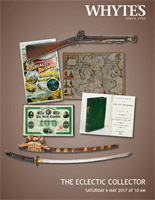
1744 A Map of the Kingdom of Ireland, by
RichardW Seale.
‘From ye. latest & best Observations, for Mr. Tindal’s
Continuation of Mr. Rapin’s History’. A hand-
coloured engraved map of Ireland as published in
‘The History of England’ by Rapin de Thoyras. Vol. 3
of Tindal’s continuation, 1744.
Estimate €200-€250 (approx £170-£212)
Click Here for Large Images & To Bid 520A521
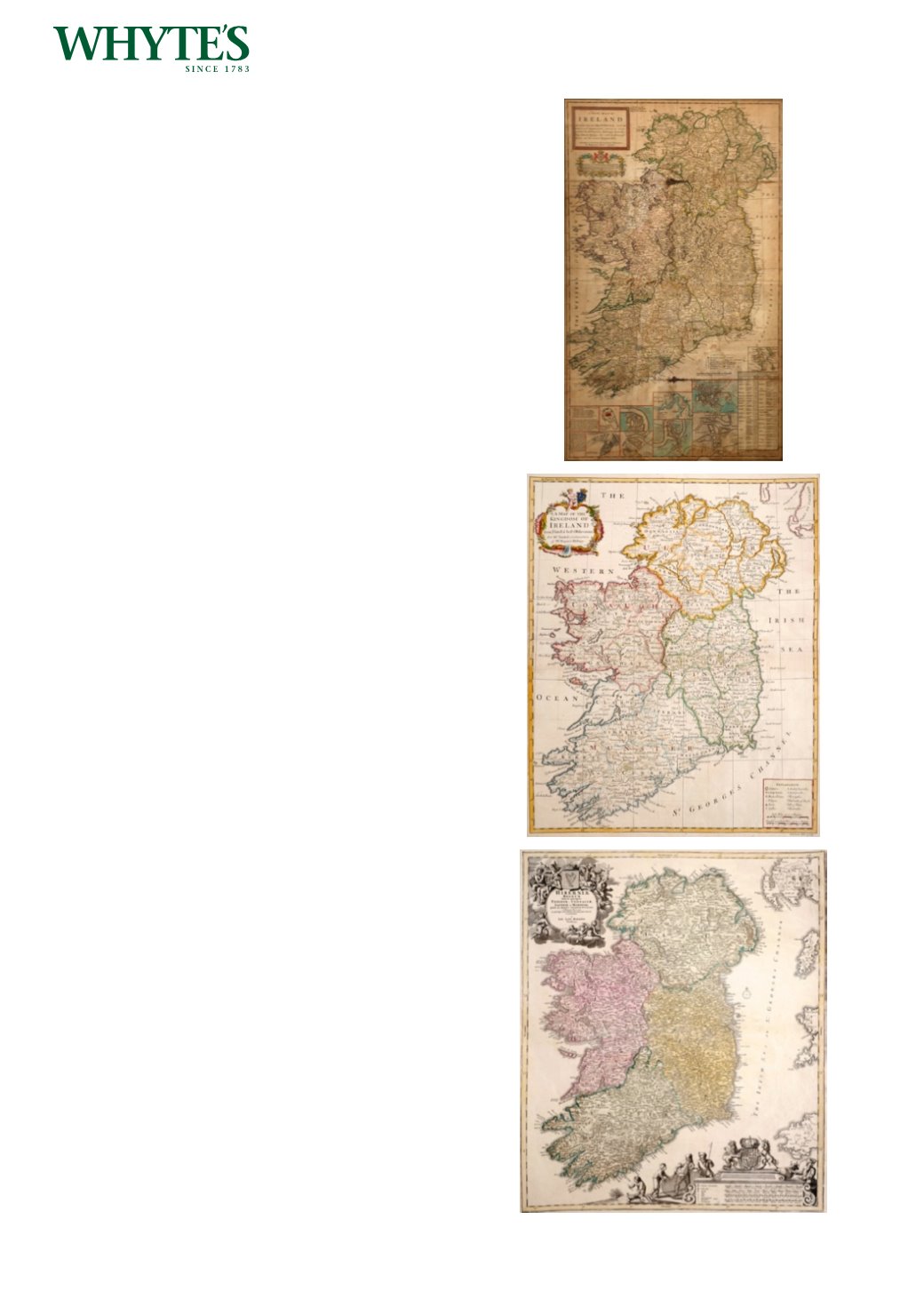
1746, Map of Ireland by Johann Baptiste
Homann.
A hand-coloured, engraved map of Ireland,
‘Hiberniae Regnum tam in praecipuas, Ultoniae,
Connaciaem Caceniae et Momoniae ‘ as published in
‘Atlas Novus’, Nuremburg,
23.25 by 19.75in. (59.1 by 50.2cm)
Estimate €200-€300 (approx £170-£255)
Click Here for Large Images & To Bid 521