


 203 / 298

Maps & Charts
525
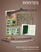
19th century maps of Ireland.
A collection of engraved maps including, Ireland
by TL Murray, circa 1830; together with maps of the
four provinces as published in ‘The British Almanack
and Companion’, Charles Knight, circa 1830; and two
small maps of Ireland. (6). The largest
28 by 19in. (71.1 by 48.3cm)
Estimate €120-€180 (approx £102-£153)
Click Here for Large Images & To Bid 525526
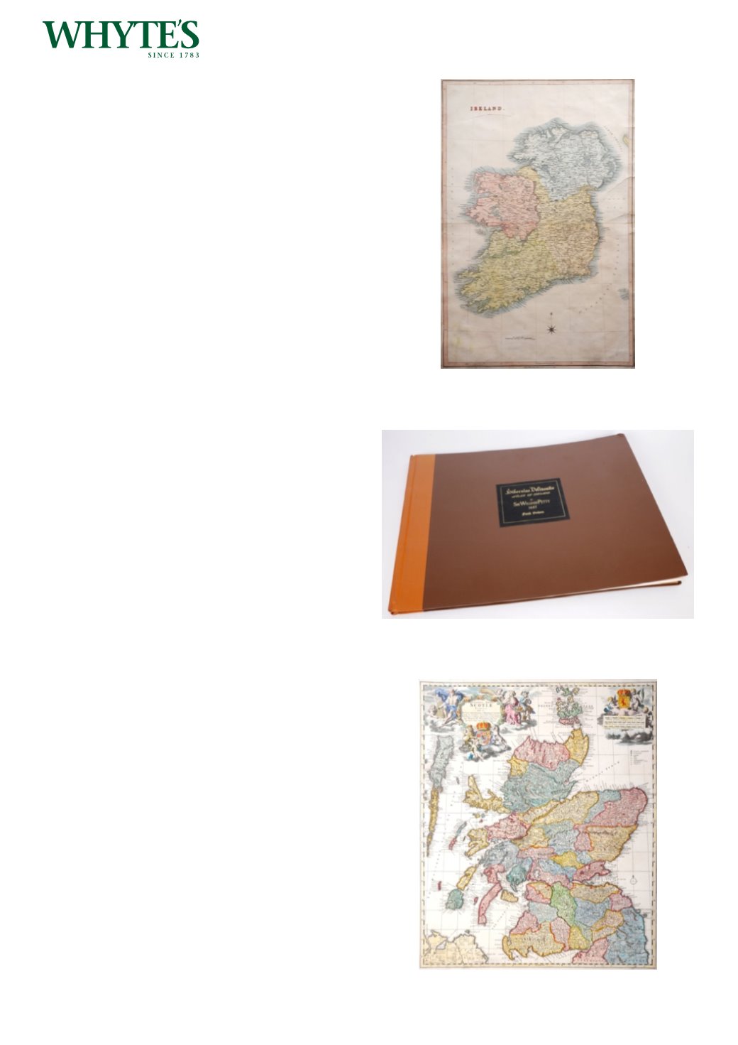
Petty, Sir W. Hibernia Delineatio, Atlas of Ireland.
1968. Facsimile edition, published by Frank Graham,
large oblong folio, Newcastle upon Tyne. Limited
edition of 500 copies, brown cloth.
Estimate €150-€200 (approx £127-£170)
Click Here for Large Images & To Bid 526527
17th century map of Scotland by Nicholas
Visscher c1680
A hand-coloured, engraved map, Exactissima Regni
Scotiae by Nicholas Visscher, c.1680. Unframed.
22.50 by 19in. (57.2 by 48.3cm)
Estimate €300-€350 (approx £255-£297)
Click Here for Large Images & To Bid 527