


 205 / 298

Maps & Charts
531
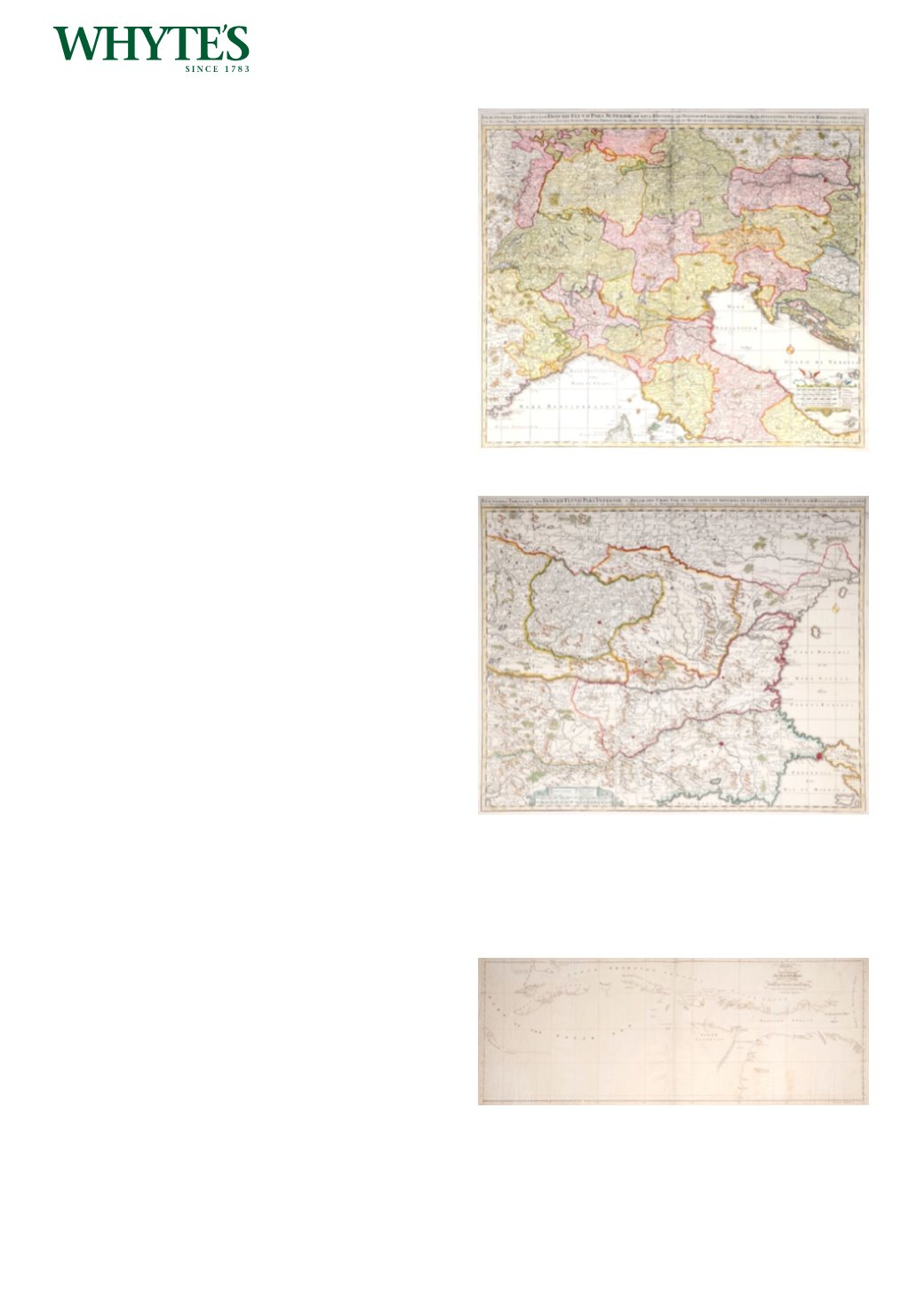
17th century map of Northern Italy and the
upper reaches of the Danube.
Exactissima Tabula qua tam Danubii Fluvii pars
Superior
Estimate €200-€300 (approx £170-£255)
Click Here for Large Images & To Bid 531532
17th century map of the Balkans and lower
Danube
An outline coloured, engraved map, Exactissima
Tabula qua tam Danubii Fluvii pars Inferior, c 1680.
Unframed.
19.12 by 22in. (48.6 by 55.9cm)
Estimate €200-€300 (approx £170-£255)
Click Here for Large Images & To Bid 532533
Early 19th century manuscript Polar chart.
A manuscript chart of the Discoveries of his
Majesty’s Ships Hecla and Griper in search of a
Northwest Passage, under the command of Lieut.
Parry, in the years 1819 and 1820, showing from the
western part of Baffin Bay to Liddon’s Gulf, Melvile
Island and Sabine Island, pen, ink and wash.
14.50 by 37.75in. (36.8 by 95.9cm)
Estimate €150-€200 (approx £127-£170)
Click Here for Large Images & To Bid 533