


 213 / 298

Maps & Charts
557
1811 Maps of North America and the States of
America, east of the Mississippi River.
Two hand-coloured, engraved maps, North America,
drawn from the best authorities and States of
America, drawn from the best authorities, by John
Russell, published by Wilkie & Robinson, J. Mawman
,1811.
16 by 18.50in. (40.6 by 47cm)
Estimate €400-€600 (approx £340-£510)
Click Here for Large Images & To Bid 557558
1811 Maps of North America and British Colonies
in North America.
Two hand-coloured, engraved maps, British Colonies
in North America, drawn from the best authorities;
and States of America, drawn from the best
authorities, by John Russell, published by Wilkie &
Robinson, J. Mawman ,1811.
16 by 18.50in. (40.6 by 47cm)
Estimate €400-€600 (approx £340-£510)
Click Here for Large Images & To Bid 558559
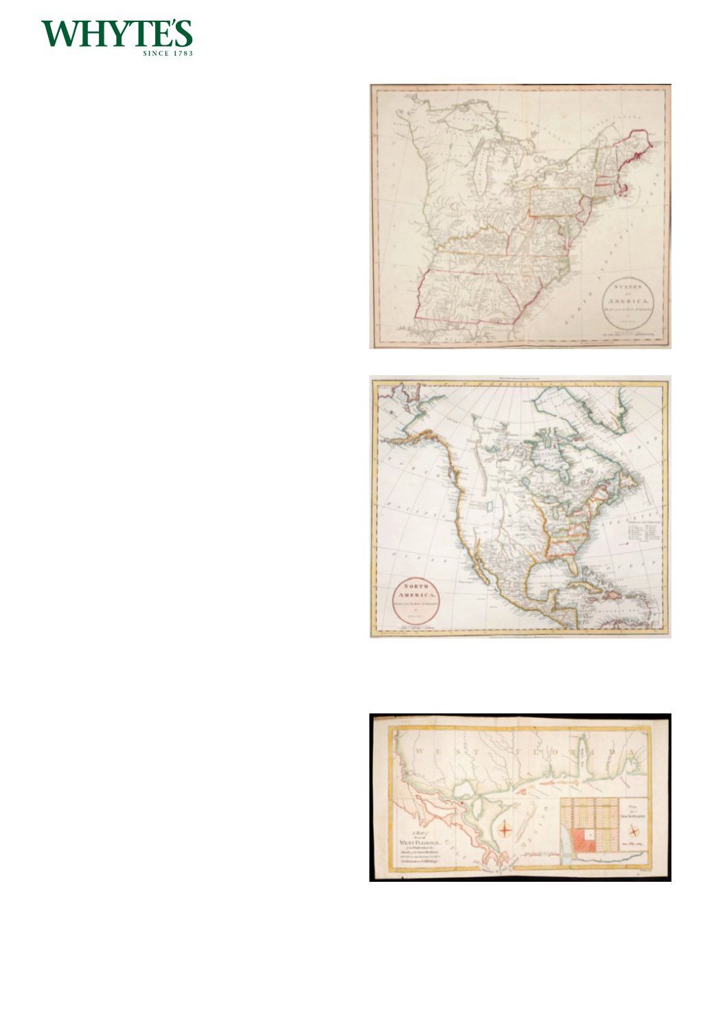
18th and 19th Century maps of North America,
West Florida, California and Boston.
Six unframed, hand-coloured maps including 19th
century maps of the USA and British North America
published by Archibald Fullerton and The United
States and Texas by Johnstone and Johnston; a city
plan of Boston (uncoloured) by Tallis; a map of part
of West Florida: from Pensacola to the mouth of the
Iberville River, with a view to shew the proper spot
for a settlement on the Mississippi; and California
and other Western States by Cassell, Petter and
Galpin. (6)
26.25 by 21.25in. (66.7 by 54cm)
Estimate €250-€300 (approx £212-£255)
Click Here for Large Images & To Bid 559