
Maps & Charts
545
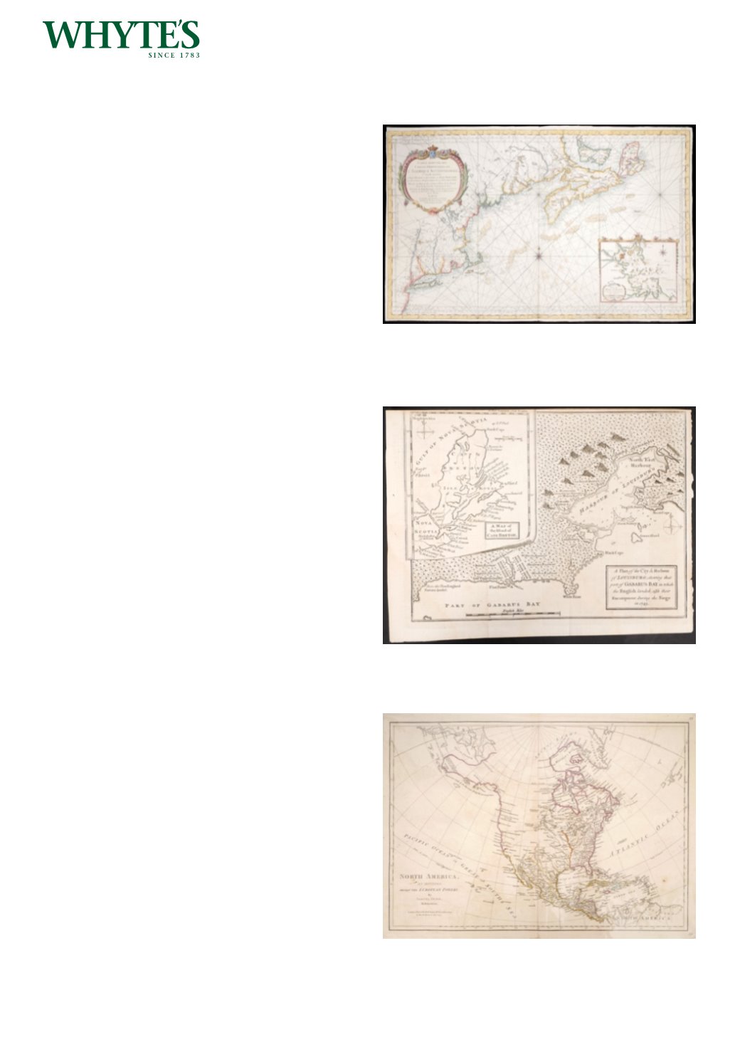
1757 Chart of the East Coast of North America,
by Jacques Nicolas Bellin.
A hand-coloured engraved sea-chart on heavy
paper, laid on paper, with a large inset map of
Boston harbour. Carte Reduite des Costes Orientales
de l’Amerique Septentrionale. 1re Feuille Contenant
l’Isle Royale, l’Accadie, la Baye Francoise, la Nouvelle
Angleterre et la Nouvelle Yorc...., by Jacques Nicolas
Bellin. published Paris, 1757. First state of this
detailed and decorative map, from the Depot de la
Marine charts. The first state is distinguishable by
the lack of rhumb lines in the inset map.
22.25 by 35in. (56.5 by 88.9cm)
Estimate €1500-€2000 (approx £1275-£1700)
Click Here for Large Images & To Bid 545546
1758 Map of Louisburg, Cape Breton Island, Nova
Scotia.
A plan of the city & harbour of Louisburg, shewing
that part of Gabarus Bay in which the English
landed, also their encampment during the Siege in
1745, uncoloured, unframed.
7.75 by 10.25in. (19.7 by 26cm)
Estimate €120-€180 (approx £102-£153)
Click Here for Large Images & To Bid 546547
1774 North America as Divided amongst the
European Powers.
A hand-coloured, engraved map, by Samuel Dunn,
North America as Divided amongst the European
Powers, from The American Military Pocket Atlas
(London, 1776), used by the British forces in the
American Revolutionary War, unframed.
12.75 by 17.75in. (32.4 by 45.1cm)
Estimate €200-€300 (approx £170-£255)
Click Here for Large Images & To Bid 547


