
THE ECLECTIC COLLECTOR · 6 MAY 2017 AT 10AM
Maps & Charts
541
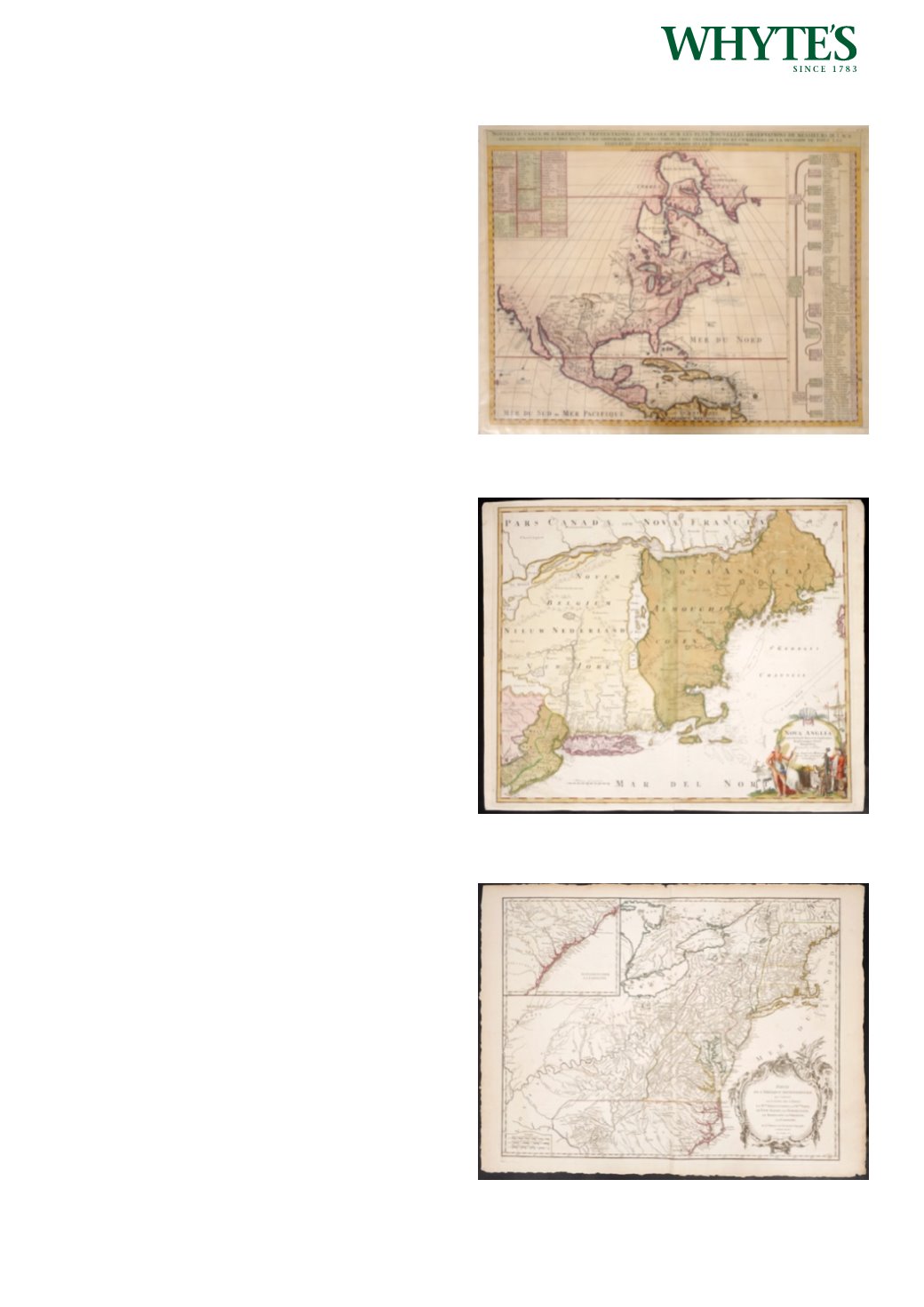
1720 Map of North America by Henry Abraham
Chatelain.
A hand-coloured, engraved map, Nouvelle Carte
de l`Amerique Septentrionale, by Henry Abraham
Chatelain, chart to the right lists the primary
divisions of North America with colonial interests,
native tribes, and towns.
18 by 24in. (45.7 by 61cm)
Estimate €300-€500 (approx £255-£425)
Click Here for Large Images & To Bid 541542
1720 Map of New England by Johannes Baptista
Homann.
A hand-coloured engraving after Johann Baptista
Homann entitled Nova Anglia Septentrionalio
Americae implantata Anglorumque coloniis florent.
1720, Nuremberg, cartouche at lower right hand
corner depicting a European trader with a Native
American.
19.50 by 23.25in. (49.5 by 59.1cm)
Estimate €400-€600 (approx £340-£510)
Click Here for Large Images & To Bid 542544
1757 Map of part of North America, by Gilles
Robert de Vaugondy.
A large, hand-coloured, engraved map, Partie de
l`Amerique Septentrionale, qui Comprend le Cours
De l`Ohio, la Nlle. Angleterre, la Nlle. York, le New
Jersey, la Pensylvanie, le Maryland la Virginie, la
Caroline. Map of the colonies between the Ohio and
Mississippi rivers and the Atlantic with an inset at
upper left that continues the main map from Cape
Fear south through the Carolinas and Georgia to F.
St. Georges.
19.50 by 24.50in. (49.5 by 62.2cm)
Estimate €400-€600 (approx £340-£510)
Click Here for Large Images & To Bid 544


