
THE ECLECTIC COLLECTOR · 6 MAY 2017 AT 10AM
Maps & Charts
548
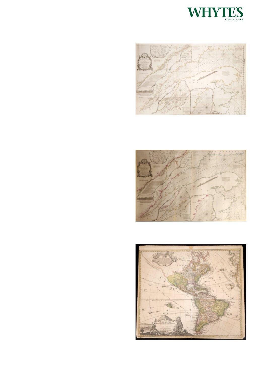
1775 Chart of St Laurence River.
An outline coloured, engraved chart, Exact Chart
of the River St. Laurence, from Fort Frontenac to
the Island of Anticosti Shewing the Soundings,
Rocks, Shoals, &c. with Views of the Lands and All
Necessary Instructions for Navigating that River to
Quebec, Jefferys, Sayer & Bennett, The American
Atlas, London, 1775. On two sheets, joined. Total size
23.50 by 38.25in. (59.7 by 97.2cm)
Estimate €500-€700 (approx £425-£595)
Click Here for Large Images & To Bid 548549
1775 Chart of St Laurence River.
An outline coloured, engraved chart , Exact Chart
of the River St. Laurence, from Fort Frontenac to
the Island of Anticosti Shewing the Soundings,
Rocks, Shoals, &c. with Views of the Lands and All
Necessary Instructions for Navigating that River to
Quebec, Jefferys, Sayer & Bennett, The American
Atlas, London, 1775. Linen-backed, unframed.
24 by 38in. (61 by 96.5cm)
Estimate €500-€700 (approx £425-£595)
Click Here for Large Images & To Bid 549550
1730 Map of North and South America, Johannes
Baptista Homann.
Totius Americae Septentrionalis et Meridionalis
Novissima Repraesentatio quam ex Singulis
Recentium Geographorum Tabulis Collecta Luci
Publicae Accommodavit. Revised by Johannes
Baptista Homann’s son Johann Christoph Homann
who re-engraved the plate to correct the western
coastline of North America.
19.25 by 23in. (48.9 by 58.4cm)
Estimate €500-€700 (approx £425-£595)
Click Here for Large Images & To Bid 550


