
Maps & Charts
537
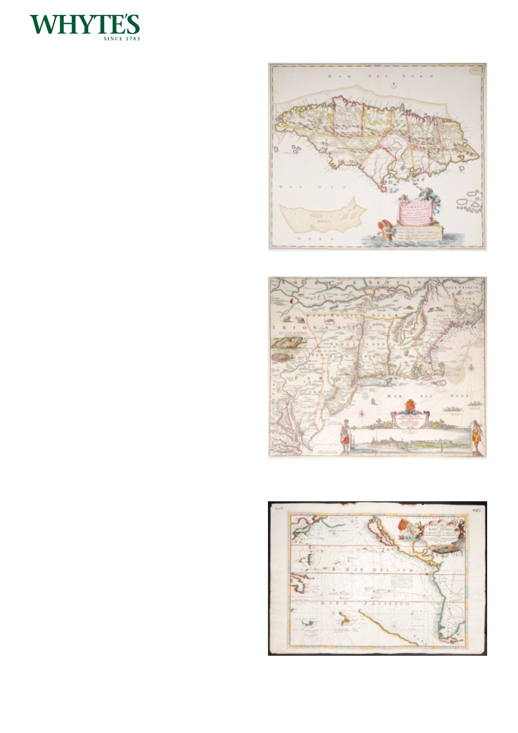
17th century map of Jamaica by Nicholas
Visscher.
A hand-coloured, engraved map, Jamaica Americae
Septentrionalis Ampla Insula, by Nicholas Visscher,
c.1680.
20.50 by 23.25in. (52.1 by 59.1cm)
Estimate €400-€500 (approx £340-£425)
Click Here for Large Images & To Bid 537538
1685 Map of New England by Nicholas Visscher
An outline coloured, engraved map Novi Belgii
novaeque Anglia nec non partis Virginia Tabula, by
Nicholas Visscher c.1685, with inset view of New
York, 4th State with added ‘privilege’. Unframed.
The view of New York inset to this map is one of the
earliest surviving of the settlement.
Estimate €2500-€3000 (approx £2125-£2550)
Click Here for Large Images & To Bid 538539
1691 Mare del Sud, detto Altrimenti Mare
Pacifico, Venetian chart of theWest Coast of
America and Pacific Ocean.
A hand-coloured engraved chart of the Pacific
Ocean by Vincenzo Maria Coronelli depicting
California as an island, the west coast only of New
Zealand, the north coast of New Holland and the
south coast of Van Dieman’s land, with decorative
title cartouche upper right, engraved map with
hand-colouring.
18 by 24in. (45.7 by 61cm)
Estimate €1000-€1500 (approx £850-£1275)
Click Here for Large Images & To Bid 539


